|
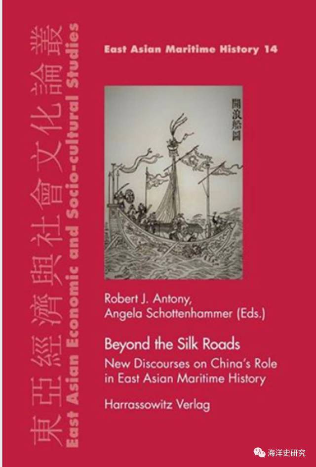
9月4日 以下文章来源于海洋史研究 ,作者安乐博 萧婷 海洋史研究 主要介绍国内外海洋史研究的历史与现状,重点推介《海洋史研究》 Beyond the Silk Roads: New Discourses on China’s Role in East Asian Maritime History Edited by Robert J. Antony安樂博, Guangzhou University Angela Schottenhammer蕭婷, Universität Salzburg 2017 Harrassowitz Verlag . Wiesbaden Contents LIST OF MAPS, FIGURES, AND TABLES .................................................................................... vii ACKNOWLEDGEMENT...................................................................................................................... ix CHAPTER I ROBERT J. ANTONY Integrating Maritime Asia with World, Transnational, and Local History: An Introduction .......................................................................................................................................... 1 CHAPTER II JUDITH CAMERON A Prehistoric Maritime Silk Road: Merchants, Boats, Cloth and Jade .................................. 25 CHAPTER III HUGH R. CLARK The Coastal Cultures of Ancient Fujian and the Roots of Regional Cults .......................... 43 CHAPTER IV JOHN W. CHAFFEE Pu Shougeng Reconsidered: Pu, His Family, and their Role in the Maritime Trade of Quanzhou .................................... 63 CHAPTER V UBALDO IACCARINO Conquistadors of the Celestial Empire: The Spanish Policy toward China at the End of the 16th Century ........................................ 77 CHAPTER VI MARIA GRAZIA PETRUCCI Caught Between Piracy and Trade: The Shimazu of Southern Japan at the Onset of the New Tokugawa Regime, 1599−1630 .......................................................... 99 CHAPTER VII XING HANG Leizhou Pirates and the Making of the Mekong Delta ............................................................. 115 CHAPTER VIII SUSAN E. SCHOPP French Sea Routes to Canton, 1698−1792 .................................................................................... 133 CHAPTER IX ADAM CLULOW Distant Justice: Maritime Networks and Legal Forum Shopping ......................................... 151 CHAPTER X ROBERT J. ANTONY Pirates, Dragon Ladies, and Steamships: On the Changing Forms of Modern China’s Piracy .................................................................. 165 CHAPTER XI ANGELA SCHOTTENHAMMER China’s Rise and Retreat as a Maritime Power ............................................................................. 189 INDEX ...................................................................................................................................................... 213 LIST OF MAPS, FIGURES, AND TABLES ROBERT J. ANTONY Map 1.1., 4: Maritime Eastern Asia Map 1.2., 5: Sailing routes across the South China Sea World Map 1.3., 12: Overlapping spheres of the South China Sea World Map 1.4., 14: Transregional sailing routes of maritime raiders in the South China Sea JUDITH CAMERON Map 2.1., 27: Key early Neolithic cloth production sites belonging to the Hemudu culture (5500- 3300 BCE) and the distribution of late Neolithic sites belonging to the Majiabang sites (5000−3300 BCE) Map 2.1., 29: Distribution of prehistoric cloth production sites in Taiwan and island Southeast Asia Fig. 2.1., 28: The remains of an early Neolithic wooden boat from Kuahuqiao Fig. 2.2., 35: Tracings of charcoal drawings of maritime vessels depicted on the roof of the Hagop Bilo habitation shelter, Sabah Fig. 2.3., 37: Boat depictions on the walls of the Painted Cave, Borneo Fig. 2.4., 38: Boat coffins remaining on the cave floor of the Painted Cave, Borneo HUGH R. CLARK Map 3.1., 44: Chinese migration routes Map 3.2., 47: Modern Putian Prefecture and the Xinghua Bay Map 3.3., 57: Central places to the Baidu Cult JOHN W. CHAFFEE Map 4.1., 64: Fujian Province UBALDO IACCARINO Map 5.1., 78: Philippines and South China Sea MARIA GRAZIA PETRUCCI Map 6.1., 100: Tokugawa Japan and Ryūkyū viii List of Maps, Figures, and Tables XING HANG Map 7.1., 118: The Gulf of Tonkin SUSAN E. SCHOPP Map 8.1., 144: Eighteenth-century French sea routes between France and China via the Cape of Good Hope Map 8.2., 147: French sea route to China via Cape Horn, 1716 Fig. 8.1., 137: Diagram of Asian wind systems ROBERT J. ANTONY Map 10.1., 166: The South China coast, c. 1900 Map 10.2., 170: Bias Bay and the Pearl River Delta, c. 1900 Fig. 10.1., 169: Postcard depicting the beheading of Namoa pirates in 1891 Fig. 10.2., 176: Portuguese monument commemorating the victory over pirates in Coloane in July 1910 Fig. 10.3., 181: Male and female members of Lai Choi San’s gang Fig. 10.4., 183: Fig. 10.4. Chasing Chinese pirates Table 10.1., 172-3: Reported piracies on the South China Coast, 1874−1894 Table 10.2., 178: Occupations of convicted pirates in South China, 1780−1885 Table 10.3., 185: Hong Kong police report of piracy incidents, January to May 18 
(责任编辑:admin) |
